EOC Logo
  • About
  • News
  • Services
  • Maps ▾
    TanDEM-X 30m Edited Digital Elevation Model (EDEM) TanDEM-X 30m DEM Change Maps (DCM) TanDEM-X 90m DEM TanDEM-X PolarDEM 90m of Antarctica TanDEM-X Forest/Non-Forest Map SRTM X-SAR DEM
    EnMAP L0 Quicklooks
    Burnt Area Daily NRT Incremental Product - Europe, MODIS Burnt Area Daily NRT Incremental Product - Europe, Sentinel-3 Burnt Area Monthly Composite - Europe, Sentinel-3 Burnt Area Yearly Composite - Europe, Sentinel-3
    CropTypes - Crop Type Maps for Germany - Yearly, 10m GrassLands - Mowing Dynamics - Germany, 10m HedgeRows - Bavaria, 2019-2021
    MetOp GOME-2 Level 3 Daily Total Column Composites Sentinel-5P TROPOMI L3 Daily Composites Sentinel-5P TROPOMI L4-DE Daily Composites
    MODIS-EU Daily Mosaic MODIS-DE Mosaic
    Sentinel-2 L2A MAJA Products Sentinel-2 L3A WASP Products
    World Settlement Footprint (WSF) - Landsat-8/Sentinel-1 - Global, 2015 World Settlement Footprint (WSF) - Sentinel-1/Sentinel-2 - Global, 2019 World Settlement Footprint (WSF) Evolution World Settlement Footprint (WSF) 3D - Global, 90m
    GUF® - Global Urban Footprint® v1 - EPSG:3857 (WGS 84 / Pseudo-Mercator) GUF® - Global Urban Footprint® v1 - EPSG:4326 (WGS84 / geocentric)
    GWP - Global WaterPack Yearly GWP - Global WaterPack Monthly SWIM Water Extent
    GSP - Global SnowPack Yearly GSP - Global SnowPack Daily GSP - Global SnowPack Mean
    TimeScan Landsat 2015
    Forest Canopy Cover Loss (FCCL) - Germany - Monthly, 10m Forest Canopy Cover Loss (FCCL) - Germany - Monthly, Administrative Level Forest Structure - Germany, Yearly Tree Canopy Cover Loss - Germany, 2018-2021 Tree Species - Sentinel-1/2 - Germany, 2022
    AVHRR - Monthly Sea Surface Temperature
    TIMELINE Level 3 - Monthly (1982-2022)
    IceLines - Ice Shelf and Glacier Front Time Series
    CORINE Land Cover Land Cover DE Road Traffic Noise - Germany, 2017 Road Traffic Noise (AI Prediction) - Germany, 2017
    RapidEye RESA - L3M Mosaic - Germany
    S-VELD S5P Trop. NO2 Columns (Daily/Orbit) S-VELD S5P Trop. NO2 Columns (Monthly Mean) S-VELD S5P Surface NO2 (Daily/Orbit) S-VELD S5P Surface NO2 (Monthly Mean) S-VELD MODIS/SLSTR Surface PM2.5 (Monthly Mean)
    Soil Composite Mapping Processor (SCMaP) Products (5 years) Soil Composite Mapping Processor (SCMaP) Products (30 years) SoilSuite - Sentinel-2 - Europe, 5 year composite (2018-2022) SoilSuite - Sentinel-2 - Africa, 4 year composite (2018-2021)
    UrMo Digital - Traffic Area Map (TAM) - Brunswick, Germany
    Geo-ForPy - Forest cover Paraguayan Chaco
    Residential Heat Demand - Baden Württemberg, Germany
    SAR4Tectonics (S4T)
    ECoLaSS - Evolution of Copernicus Land Services based on Sentinel Data
    fCover - Fractional Vegetation Cover Netherlands based on Sentinel-2 Data
  • Downloads ▾
    EnMAP - Environmental Mapping and Analysis Program DESIS - DLR Earth Sensing Imaging Spectrometer
    fCover Sentinel-2 Netherlands
    Forest Canopy Cover Loss Germany Forest Structure Germany Tree Species Germany
    Geo-ForPy - Forest Cover Paraguayan Chaco
    CropTypes - Crop Type Maps for Germany GrassLands - Mowing Dynamics HedgeRows - Bavaria, 2019-2021
    GWP - Global WaterPack SWIM - Surface Water Inventory and Monitoring (SWIM) Water Extent
    GSP - Global SnowPack
    IceLines - Ice Shelf and Glacier Front Time Series PolarLakes - Sentinel-1/2 - Antarctica
    Land Cover DE
    Sentinel-2 L2A MAJA Sentinel-2 L3A WASP Sentinel-5p Tropomi
    S-VELD NO2 and PM2.5
    SOILSUITE
    SRTM X-SAR DEM
    TanDEM-X 30m Edited Digital Elevation Model (EDEM) TanDEM-X 30m DEM Change Maps (DCM) TanDEM-X 90m DEM TanDEM-X Forest/Non-Forest Map TanDEM-X PolarDEM Antarctica
    TerraSAR-X Supersites
    TIMELINE Level 3 - Monthly (1982-2022)
    Tree Canopy Cover Loss - Germany, 2018-2021
    UrMo Digital - Traffic Area Map (TAM) - Brunswick, Germany
    World Settlement Footprint 2015 World Settlement Footprint 2019 World Settlement Footprint Evolution World Settlement Footprint 3D World Settlement Footprint 3D Material Stock
  • Data Guides ▾
    SRTM X-SAR DEM TanDEM-X 30m EDEM and DCM TanDEM-X 90m DEM TanDEM-X FNF 50m
DLR Logo
Due to technical maintenance, some interruptions in our (OGC-) services might occur.

World Settlement Footprint (WSF) 2015 v2 - Landsat-8/Sentinel-1 - Global

Thumbnail - WSF2015

Abstract

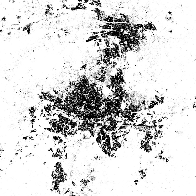
The World Settlement Footprint WSF 2015 version 2 (WSF2015 v2) is a 10m resolution binary mask outlining the extent of human settlements globally for the year 2015. Specifically, the WSF2015 v2 is a pilot product generated by combining multiple datasets, namely:
• The WSF2015 v1 derived at 10m spatial resolution by means of 2014-2015 multitemporal Landsat-8 and Sentinel-1 imagery (of which ~217K and ~107K scenes have been processed, respectively); https://doi.org/10.1038/s41597-020-00580-5
• The High Resolution Settlement Layer (HRSL) generated by the Connectivity Lab team at Facebook through the employment of 2016 DigitalGlobe VHR satellite imagery and publicly released at 30m spatial resolution for 214 countries; https://arxiv.org/pdf/1712.05839.pdf
• The novel WSF2019 v1 derived at 10m spatial resolution by means of 2019 multitemporal Sentinel-1 and Sentinel-2 imagery (of which ~ 1.2M and ~1.8M scenes have been processed, respectively); https://doi.org/10.1553/giscience2021_01_s33
The WSF2015 v1 demonstrated to be highly accurate, outperforming all similar existing global layers; however, the use of Landsat imagery prevented a proper detection of very small structures, mostly due to their reduced scale. Based on an extensive qualitative assessment, wherever available the HRSL layer shows instead a systematic underestimation of larger settlements, whereas it proves particularly effective in identifying smaller clusters of buildings down to single houses, thanks to the employment of 2016 VHR imagery. The WSF2015v v2 has been then generated by: i) merging the WSF2015 v1 and HRSL (after resampling to 10m resolution and disregarding the population density information attached); and ii) masking the outcome by means of the WSF2019 product, which exhibits even higher detail and accuracy, also thanks to the use of Sentinel-2 data and the proper employment of state-of-the-art ancillary datasets (which allowed, for instance, to effectively mask out all roads globally from motorways to residential).

Contact

  • mattia.marconcini@dlr.de
    German Aerospace Center (DLR)
  • wsf@dlr.de
    DLR/EOC Land Surface Dynamics
  • geoservice@dlr.de
    German Aerospace Center (DLR)

Keywords

  • GEMET - INSPIRE themes, version 1.0
  • Land cover
  • Spatial scope
  • global
  • global
  • urbanization
  • land
  • settlement extent
  • Landsat-8
  • Sentinel-1
  • opendata
  • inspireidentifiziert

License

  • Nutzungseinschränkungen: Das DLR ist nicht haftbar für Schäden, die sich aus der Nutzung ergeben. / Use Limitations: DLR not liable for damage resulting from use.
  • Nutzungsbedingungen: Lizenz, https://creativecommons.org/licenses/by/4.0 / Terms of use: License, https://creativecommons.org/licenses/by/4.0
  • {"id": "cc-by/4.0",
  • "name": "Creative Commons Namensnennung - Nicht kommerziell 4.0 International (CC BY 4.0)",
  • "url": "http://dcat-ap.de/def/licenses/cc-by/4.0",
  • "quelle": "Copyright DLR (2021)"}

Links

  • Download Metadata (.xml)

Last Update: 2025-02-03

Please wait...

Download

Select Items:

Keep Ctrl pressed to select Bounding Box.


No items selected


time limit
1 month
Year Month Day Custom
--
to
--

Custom Interval

Geoservice

Contact | Privacy | Terms | Imprint

Partner

DLR Portal | EOC Portal | EOWEB© GeoPortal