TanDEM-X - PolarDEM - Antarctica, 90m
Abstract
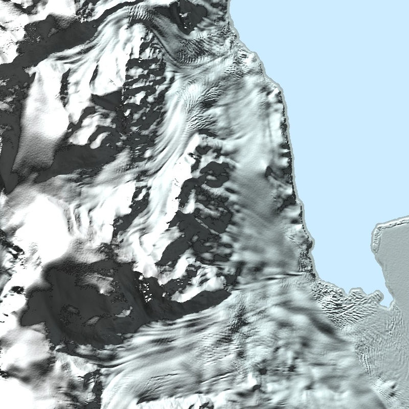
The TanDEM-X PolarDEM is a project developed by the German Remote Sensing Data Center (DFD) at the German Aerospace Center (DLR) within the activities of the TanDEM-X mission. It is a framework for the provision of derivatives of the global Digital Elevation Model (DEM) of the TanDEM-X mission for Polar Regions. The TanDEM-X PolarDEM 90m of Antarctica is a gap-free and edited version of the TanDEM-X 90m digital elevation model (DEM). The TanDEM-X PolarDEM 90m of Antarctica is provided in Antarctic Polar Stereographic projection (EPSG:3031) with a pixel spacing of 90 meters. The DEM elevation values represent ellipsoidal heights relative to the WGS84 ellipsoid. The majority of the data were acquired between April 2013 and October 2014. The TanDEM-X PolarDEM 90m of Antarctica is split into four tiles.
For more information concerning the TanDEM-X PolarDEM, the reader is referred to: https://www.dlr.de/eoc/en/desktopdefault.aspx/tabid-11882/20871_read-66374/
Contact
- td-polardem@dlr.de
German Aerospace Center (DLR) - geoservice@dlr.de
German Aerospace Center (DLR) - birgit.wessel@dlr.de
German Aerospace Center (DLR) - martin.huber@dlr.de
German Aerospace Center (DLR)
Keywords
- TanDEM-X
- Digital Elevation Model
- TDX-1
- TSX-1
- SAR
- X-Band
- PolarDEM
- Antarctica
- inspireidentifiziert
- GEMET - INSPIRE themes, version 1.0
- Höhe
- Spatial scope
- Global
License
- Nutzungseinschränkungen: Das DLR ist nicht haftbar für Schäden, die sich aus der Nutzung ergeben. / Use Limitations: DLR not liable for damage resulting from use.
- License
Links
Last Update: 2024-06-20

Download
Select Items:
Keep Ctrl pressed to select Bounding Box.
No items selected